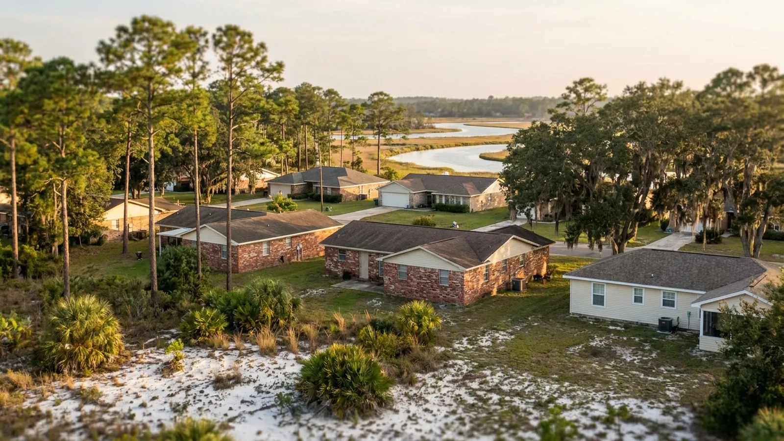
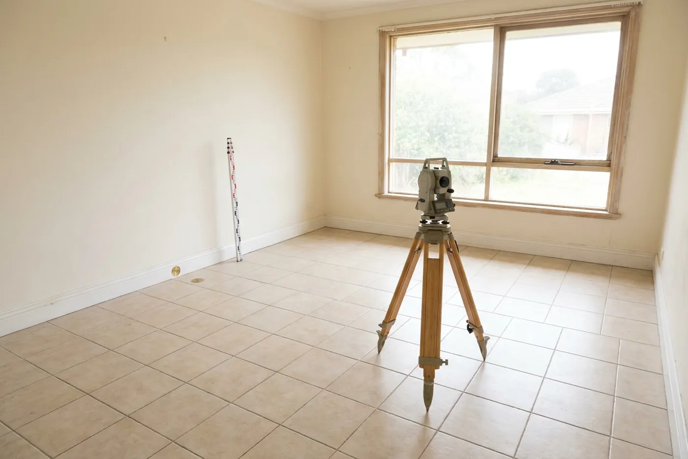
A good Panama City elevation survey takes 60–90 minutes and should produce relative floor heights across the whole footprint, plus permanent reference marks so a second survey compares like with like. The first survey is available anywhere in Bay or Gulf counties; many local specialists don't charge for it, so ask when they call.
What the survey records, why the reference marks matter more than the instrument, and what you walk away holding.
What gets recorded
| Reading | What it establishes |
|---|---|
| Relative elevation at points across the floor | The shape of the surface, and where the low area is |
| The instrument tolerance, stated | What counts as a real difference and what is scatter |
| Permanent reference marks | That a future survey can be compared to this one |
| Exterior walk, grade and drainage | Whether water is doing something, and whether the lot was raised |
| Structure age and construction type | Where on the settlement curve the house is likely to be |
Why the marks matter more than the instrument
Any competent level will measure your floor. The value of this survey is almost entirely in whether the next one can be compared to it, and that depends on measuring from the same datum — which means physical marks that will still be there in six months.
Surveys taken from different starting points produce differences that look exactly like settlement and mean nothing whatsoever. It is the most common way monitoring goes wrong, and it is completely avoidable.
What a settlement surface looks like
Consistent. A settling area falls away in a gradient, steepest toward the low point, with neighbouring readings agreeing with each other. That is what makes it recognisable.
Ordinary construction tolerance looks different: scattered highs and lows with no coherent direction, because nothing put a house out of level, it was simply built that way within tolerance. Distinguishing the two is most of what the survey is for, and it cannot be done from any single point.
What you should receive
- The elevations, written down, with the measurement points identified
- A plain statement of whether the pattern reads as settlement or as construction tolerance
- Where the reference marks are, so anybody can repeat the survey later
- The specialist’s view on whether a second survey is worth taking, and when
- If you already hold a quote, a reading of what depth it assumed
If another company has already quoted you
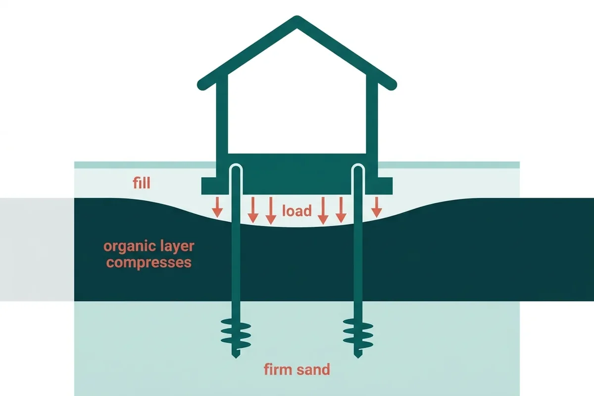
Put their document on the table while the specialist is there. On this ground one question does most of the work: what pier depth did they assume, and what is the rate past it? Without those two figures the total cannot be set against anybody else’s total. Ask the specialist to find them, and you are welcome to take that understanding straight back to the first company.
Straight answers about the survey
What is an elevation survey?
A record of how high each part of your floor sits relative to the rest of it, taken at points across the whole footprint and written down. It turns a vague sense that the floor is off into a surface you can look at and compare against later.
Is the first visit free?
Many local specialists don't charge for the first visit, but it depends on the company. Ask when the specialist calls, before they come out. Ask for the reference marks and the written findings, and for the specialist to go through a rival document with you if you hold one. Ask too what repeat measurements from those marks will cost.
How long does it take?
Sixty to ninety minutes for most houses. Furniture and flooring slow it down slightly; a clear floor plan speeds it up. Nothing is drilled, cut or opened - it is measurement rather than investigation.
Why mark permanent reference points?
So the second survey measures the same thing. Elevations taken from a different datum produce a difference that means nothing at all, and that is the single most common way monitoring gets done badly.
What if the survey shows nothing?
Then it shows nothing, the specialist should say so, and you keep the document. That is a genuinely common outcome on the sand ridges, and having it in writing is worth something the next time somebody suggests your house is failing.
Do I need to be there?
For at least the start and the end, ideally. The findings are much more useful delivered while standing on the floor in question, and the questions people ask once they see the numbers are usually the good ones.
Book a Panama City elevation survey
Tell us roughly when the house was built and whether the lot was raised or filled before it went up — even “I think they trucked dirt in” is worth knowing. On this ground the age of the house and the history of the pad narrow the answer faster than any description of a crack. A local specialist who serves Panama City will call you back.