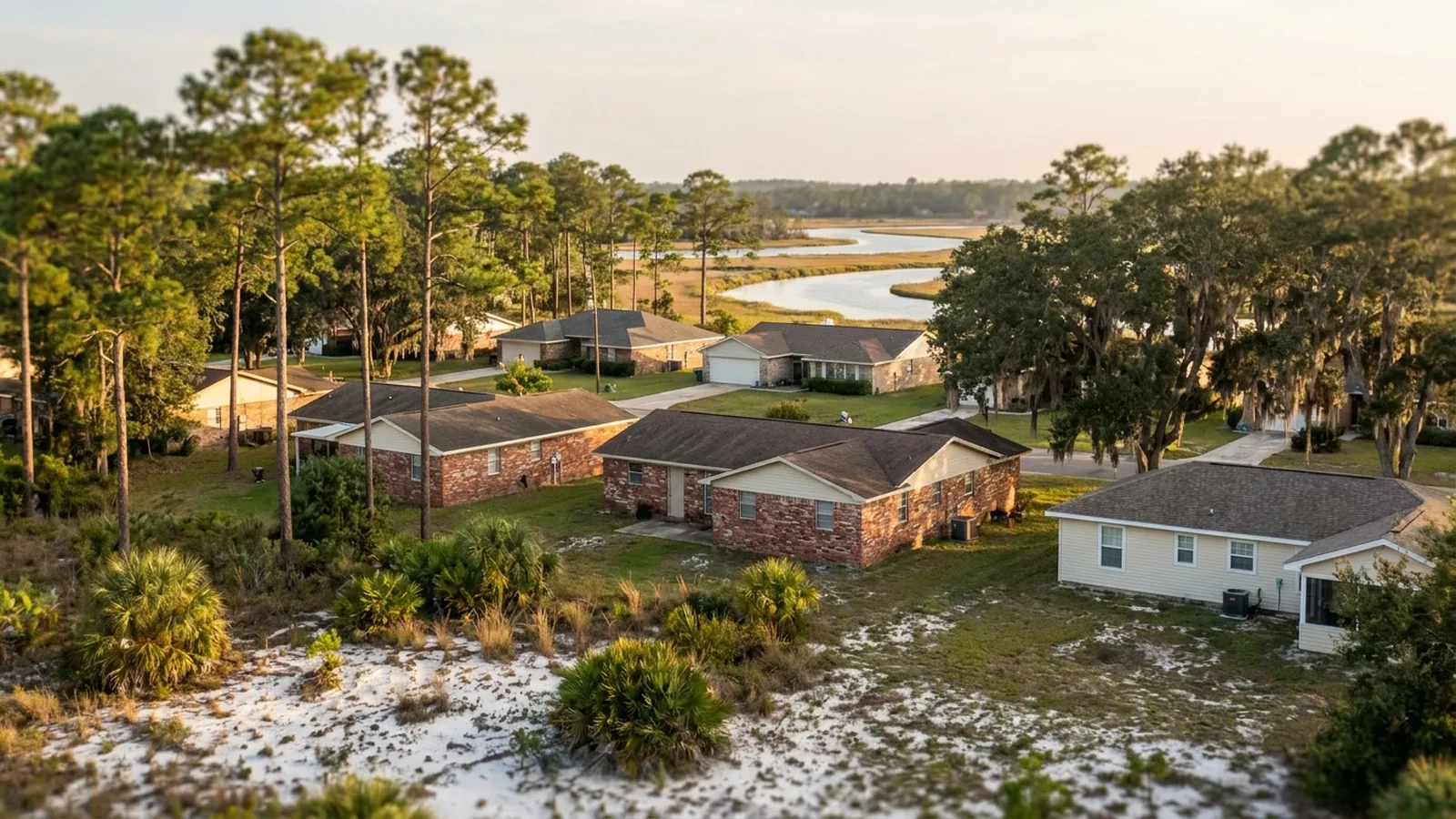
Panama City Foundation Co. takes requests from Bay and Gulf counties and passes each to one independent local specialist. Ask whether the first elevation survey is charged, and what monitoring costs, and keep the written findings whether or not you hire anyone.
Four grounds, not two counties
Bay and bayou margin
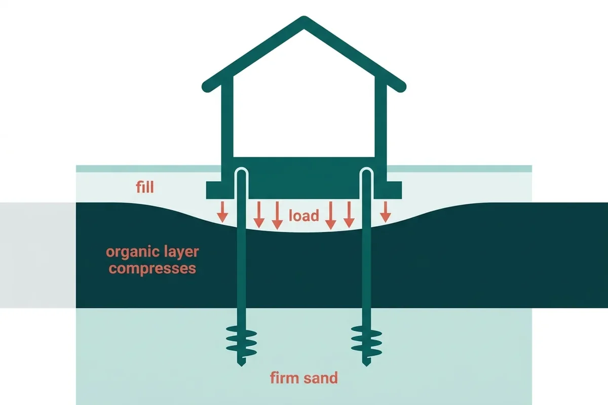
The low, flat ground where the USDA maps organic soils and where raising a lot with fill is ordinary practice rather than an exception. Two houses on one street can sit on genuinely different material here, so probing earns its keep. Springfield is the exception within the group: old enough that most of its settling is behind it.
Callaway · Parker · Springfield
Sand ridge and upland
Foxworth-type sands, 93 to 96 percent sand and under 1.25 percent organic matter to 80 inches. This ground carries houses and always has, so surveys out here frequently end with nothing to sell. Where a problem does exist it usually has a specific local cause rather than a regional one.
Lynn Haven · Southport · Youngstown
Barrier and beachfront
Dune and beach sand, capable bearing material in its own right, with newer and often taller construction sitting on it. Load matters as much as soil here, and filled low areas set back from the water behave differently from the beachfront itself. Mexico Beach adds a town largely rebuilt since 2018.
Panama City Beach · Mexico Beach
Gulf County
The same coastal margin one county east: sand where the ground is higher, organics where it is low and wet, made ground wherever a buildable lot had to be created. Covered as Bay County is.
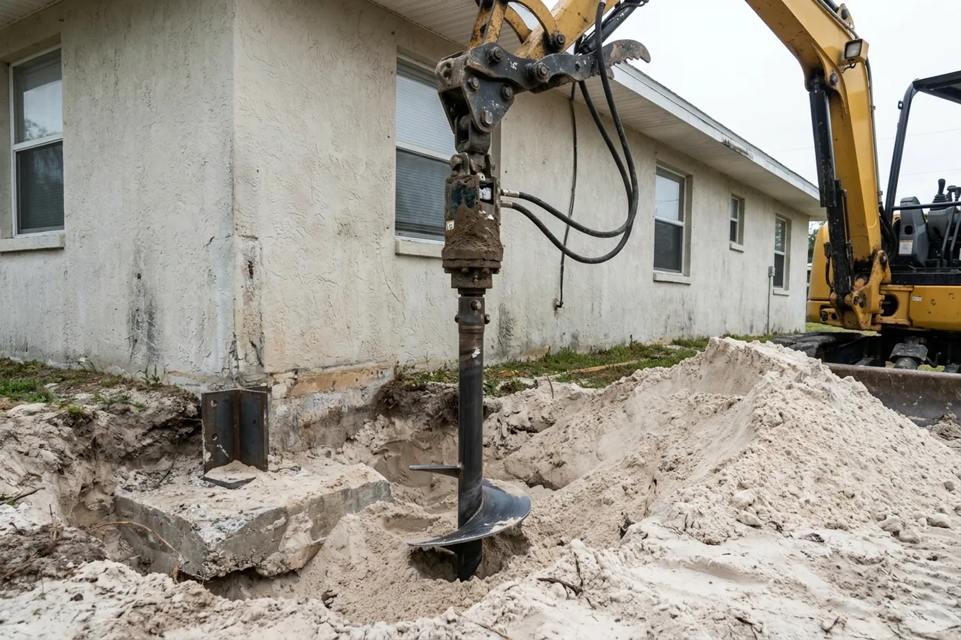
What changes between them
| Ground | What to check first | Common finding |
|---|---|---|
| Bayou margin | Depth of made ground, by probing | A raised pad over compressible material |
| Sand ridge | Elevations, and then usually nothing else | Old movement, long finished |
| Beachfront dune | Drainage, and the load the structure applies | Not the foundation at all, more often than not |
| Filled low lot | Fill depth and whether a report exists | Early-curve settlement on a newer house |
| Rebuilt since 2018 | Whether anyone took a baseline | Nobody did, and now is the time |
The same survey everywhere
A good survey includes relative elevations across the footprint, permanent reference marks so a second visit measures from the same datum, and an exterior walk. Pricing is set out on the cost guide, or you can get the survey booked.
Asked about coverage
Is there a travel charge to Youngstown or Port St. Joe?
Ask the specialist whether the first survey is charged, however far out the town is, and whether travel is priced in. A bid that grows with your postcode has folded the journey in somewhere, and you are within your rights to ask which number it landed in.
Why group by soil rather than by county?
Because the soil is the mechanism. A bayou-margin lot in Callaway and one in Parker face the same material; an upland lot in Southport faces something else entirely. County lines do not track any of that, and the soil survey does.
Can I look up my own lot?
You can. The USDA Web Soil Survey is public and will show the mapped series for a parcel. Bear in mind that soil maps describe areas rather than individual lots, so what is actually under your house still has to be established on site.
Every town covered, and what changes there
Each of these has its own page, because the ground and the housing stock are not the same across the region. The short version:
Callaway — Flat ground, and what that usually means
Callaway is low and level, and low level ground on this coast is where the organic soils are mapped. Read what that means for a Callaway property.
Parker — Water on two sides and not much elevation
Parker has less ridge and more margin than almost anywhere else on this site. Read what that means for a Parker property.
Springfield — Old houses have already answered the question
Most of Springfield’s housing predates the era of raised pads and compaction reports, which sounds like a disadvantage and frequently is not. Read what that means for a Springfield property.
Lynn Haven — Mostly the good ground, with edges that are not
Much of Lynn Haven sits on the upland sand that carries a house without argument. Read what that means for a Lynn Haven property.
Southport — Rural upland, and generally the easy answer
Southport sits on the sandy uplands north of the bay, and the ground here is largely what the soil survey would call well drained. Read what that means for a Southport property.
Youngstown — Inland, and largely out of the story
The mechanism this site is built around — organic material compressing under load — is a feature of the flats, the bayou margins and the old marsh. Read what that means for a Youngstown property.
Panama City Beach — Dune sand behaves well and gets blamed anyway
Clean beach and dune sand is good bearing material. Read what that means for a Panama City Beach property.
Mexico Beach — A town that was largely rebuilt
Hurricane Michael came ashore here on 10 October 2018 with 160 mph sustained winds, the first Category 5 on record to strike the Florida Panhandle, and the National Hurricane Center estimated peak surge inundation of 9 to 14 feet above ground across Bay and Gulf counties. Read what that means for a Mexico Beach property.
Port St. Joe — Gulf County, and the same coastal margin
Joe sits on the same kind of coastal margin as the Bay County bayou towns: sand where the ground is higher, organic soils where it is low and wet, and made ground wherever somebody needed a buildable lot out of the latter. Read what that means for a Port St. Joe property.
What it means when a town is covered
It means your request goes to one independent local specialist who serves the town, and many local specialists don't charge for the first visit; ask when they call. A good visit includes a laser floor survey, crack measurements and a written scope afterwards. Ask for any travel charge as its own line rather than buried inside the others, and to see that number before you agree to anything.
Foundation work is scheduled, not urgent, so a few days either way rarely changes the outcome.
These 9 communities are the ones this site covers, each with its own page on the local ground. That is the honest boundary: not a radius drawn on a map, but the places where the soil and the housing stock have been written up in enough detail to be useful.
Coverage questions
Is there an extra charge to come out to the outlying towns?
Ask for travel to be quoted as its own line when it applies, and to see it before agreeing to anything. It should not be folded into the price of the work, because a scope you cannot read is a scope you cannot compare against anyone else's.
My address is not on the list. Can I still ask?
Yes, and it is worth asking. The list is the area this site has written up, not a hard boundary. Send the address and the local specialist can say whether they cover it.
Is the first visit free?
Many local specialists don't charge for the first visit, but it depends on the company. Ask when the specialist calls, before they come out. Ask to keep the laser floor survey, the crack measurements and the written findings whether or not you go ahead, and whether or not the specialist ends up quoting the work.
Why does the price differ between towns for the same job?
Because the ground does. Each town page above explains what changes locally, and the quote follows what the visit measures at your specific address rather than an average for the region.
Book a Panama City elevation survey
Tell us roughly when the house was built and whether the lot was raised or filled before it went up — even “I think they trucked dirt in” is worth knowing. On this ground the age of the house and the history of the pad narrow the answer faster than any description of a crack. A local specialist who serves Panama City will call you back.